Centre to demarcate NE states' borders through satellite images

- Aug 01, 2021,
- Updated Aug 01, 2021, 11:24 PM IST
GUWAHATI: The Centre has decided to demarcate the borders of Northeastern states with the help of satellite imagery after a bloody clash between Assam and Mizoram on July 26 left six police personnel dead.
As per reports, the government has decided to assign the task to the North Eastern Space Application Centre (NESAC), a joint initiative of the Department of Space (DoS) and the North Eastern Council (NEC).
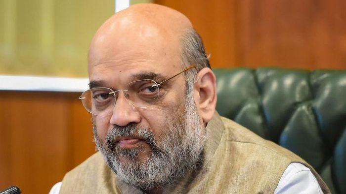
Union Home Minister Amit Shah has mooted the idea of inter-state borders through satellite imaging a few months ago.
Also Read: Assam & Mizoram’s CMs agree on Border dispute discussion
The Centre is taking this scientific demarcation measure to put an end to all disputes among the northeastern states regarding border issues as there will be no scope for any discrepancy once it is done and there shall be better acceptability of the boundary solutions by the states as well.
Once the satellite mapping is done, the boundaries of Northeastern states could be drawn and the disputes could be resolved permanently, government functionaries said.