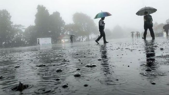
IMD forecasts heavy rainfall, thunderstorm in northeast as southwest monsoon progresses
The India Meteorological Department (IMD) has issued forecasts for heavy rainfall and thunderstorms across India's northeast region as the southwest monsoon gains momentum. The monsoon's northern limit currently stretches from Mundra in Gujarat to Raxaul in Bihar, indicating significant progress.

- Jun 27, 2024,
- Updated Jun 27, 2024, 8:03 AM IST
The India Meteorological Department (IMD) has issued forecasts for heavy rainfall and thunderstorms across India's northeast region as the southwest monsoon gains momentum. The monsoon's northern limit currently stretches from Mundra in Gujarat to Raxaul in Bihar, indicating significant progress.
IMD predicts favorable atmospheric conditions, including an east-west trough and a cyclonic circulation, to propel the monsoon's reach into several other regions over the next 3-4 days.
The east-west trough, currently extending from Madhya Pradesh to Assam, is expected to influence weather patterns in areas like south Uttar Pradesh and Jharkhand. Additionally, a cyclonic circulation over the Bay of Bengal is forecasted to impact weather conditions in the westcentral and northwest Bay of Bengal regions.
With the monsoon's advancement and the presence of these weather systems, residents and authorities across the affected regions are advised to exercise caution.
The heightened likelihood of rainfall activity necessitates close monitoring of weather updates and strict adherence to safety guidelines issued by local authorities.
These precautions will be crucial in mitigating potential risks associated with heavy rainfall and related weather phenomena, such as thunderstorms and flash floods.
Also read: Meghalaya government to incentivise traditional heads to combat drug menace