Assam gets a list of demands from Mizoram Government, says Atul Bora on inter-state border talks
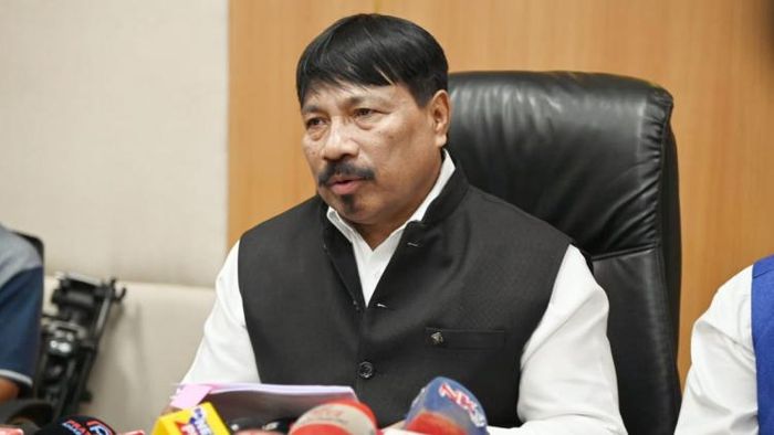
Assam Minister Atul Bora on March 27 said the Mizoram government has submitted a list of demands pertaining to the inter-state border talks between the two negibouring states.

- Mar 27, 2023,
- Updated Mar 27, 2023, 12:49 PM IST
Assam Minister Atul Bora on March 27 said the Mizoram government has submitted a list of demands pertaining to the inter-state border talks between the two negibouring states.
“Definitely something will happen this time. We had a long discussion with Mizoram HM & senior officials of govt. After the discussion, they have submitted some demands, for the first time", said Atul Bora while talking to the reporters regarding the ongoing talks with Arunachal Pradesh, Meghalaya & Mizoram over the inter-state boundary issue.
Since the formation of Mizoram, first as a union territory in 1972 and subsequently as a full-fledged state in 1987, there has been a border dispute between Assam and Mizoram.
The dispute over the boundaries between Assam and Mizoram dates back to the colonial era when inner borders were drawn in accordance with the British Raj's administrative demands.
Two notifications issued during British rule are the cause of the Assam-Mizoram conflict.
First, a notice issued in 1875 distinguished the Lushai Hills from the Cachar Plains, while the second is a notice from 1933 that marks the border between Manipur and the Lushai Hills.
The Bengal Eastern Frontier Regulation (BEFR) Act, of 1873, which was the foundation for the 1875 notice, according to Mizoram, should serve as the basis for drawing the boundary.
Leaders in the Mizo community disagree with the demarcation announced in 1933, claiming that the Mizo society was not consulted.
The three Assam districts of Cachar, Hailakandi, and Karimganj share a boundary with the Mizoram districts of Kolasib, Mamit, and Aizawl along the 164.6 km interstate border that divides Assam and Mizoram.
The border between Assam and Mizoram also follows naturally existent barriers like hills, valleys, rivers, and woods, and both sides have blamed border conflicts on perceptional conflicts over a fictitious line.