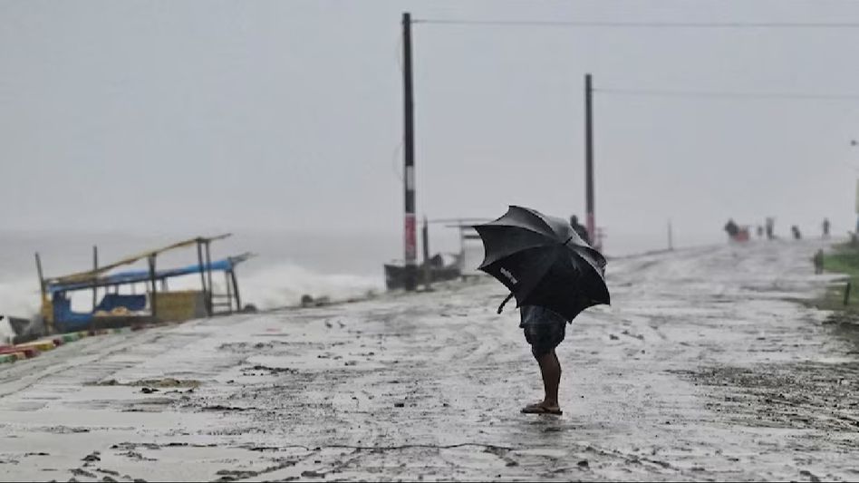
Bengal, Northeast on high alert as cyclone Remal approaches, to make landfall tonight at 135 kmph
Cyclone Remal, which originated as a deep depression over the Bay of Bengal, has intensified into a cyclonic storm and is projected to become severe before making landfall. According to the India Meteorological Department (IMD), the cyclone is expected to hit between the coasts of West Bengal and Bangladesh on Sunday, May 26 night.

Cyclone Remal, which originated as a deep depression over the Bay of Bengal, has intensified into a cyclonic storm and is projected to become severe before making landfall. According to the India Meteorological Department (IMD), the cyclone is expected to hit between the coasts of West Bengal and Bangladesh on Sunday, May 26 night.
The IMD forecasts that Cyclone Remal will cross the West Bengal and adjacent Bangladesh coasts between Sagar Island and Khepupara with wind speeds ranging from 110 to 120 kmph, with gusts reaching up to 135 kmph, and make landfall around midnight on Sunday.
The cyclone is anticipated to have a substantial impact on West Bengal, coastal Bangladesh, Tripura, and parts of the northeastern states, bringing heavy rainfall and strong winds. The IMD has issued warnings of extremely heavy rainfall in the coastal districts of West Bengal and heavy to very heavy rainfall in north Odisha on May 26 and 27. Additionally, Assam and Meghalaya are expected to experience extremely heavy precipitation, with other northeastern states such as Manipur, Nagaland, and Arunachal Pradesh facing heavy to very heavy rains on May 27 and 28.
In response to the impending storm, the weather department in Agartala has issued ‘orange’ alerts for Tripura from May 26 to 28. These alerts warn of thunderstorms with lightning, squally winds reaching speeds of 50-60 kmph, and gusts up to 70 kmph, accompanied by heavy to extremely heavy rainfall expected across all districts of the state.
Also read: Assam's Karimganj district administration issues cyclone alert
Copyright©2026 Living Media India Limited. For reprint rights: Syndications Today


